
Descripción
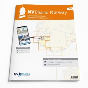
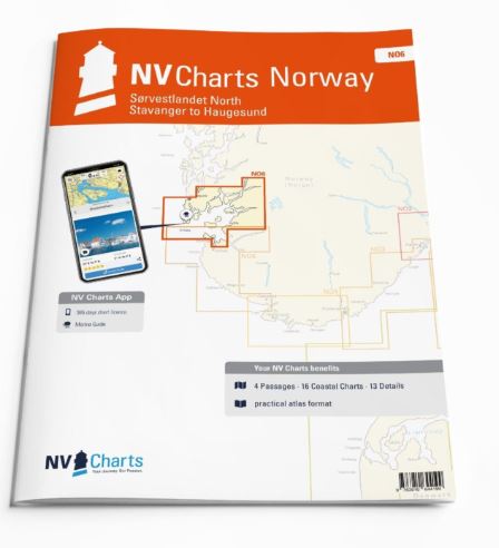
Would you like to travel to the fairytale fjords on the south-west coast of Norway? The NV Charts Norway NO6 Atlas is your reliable partner. NV Charts for the Norwegian coast are based on data from the Norwegian Hydrographic Office and also include the harbour plans of the «Norske Los» as well as numerous, specially mapped details. The clear layout means that approaches, harbours and anchorages can be found quickly, and important navigational details that also appear in the NV Charts app are pointed out. Tidal data is available in tables and also as a chart on paper. The chart series impresses with its optimal dimensions and balanced sheet sections.
Overview of regions
The NV Charts Norway NO6 connects to the NO5 and takes you into the magical fjord world between Stavanger and Haugesund. You can move from fjord to fjord in relative safety and are not exposed to the rough North Sea.
As a supplement to this chart set, we recommend Havneguiden 3 and our print-on-demand charts for more northern destinations in Norway and all fjords.
Charts and measures included
Übersegler
C1 Bømlo to Flekkefjord 1: 375,000 , C23 Norway – Oslo to Mo-i-Rana 1: 1,750,000 , C24 Norway – Mo-i-Rana to Kirkenes 1: 1,750,000 , C25 North Atlantic Ocean 1: 14,500,000
District maps
C2 Stavanger to Håsteinsfjord 1: 40,000 , C3 Håsteinsfjord to Stavanger 1: 40,000 , C4 Finnøyfjord – Fognafjord 1: 40,000 , C5 Boknafjorden to Finnøy 1: 40,000 , C6 Skudenesfjord 1: 40,000 , C7 Sirafj. – Skudeneshavn to Åkrehamn 1: 40,000 , C8 Sirafjord – Utsira to Feøy 1: 40,000 , C9 Karmsundet – V. Bokn to Haugesund 1: 40,000 , C10 Hervikfjord 1: 40,000 , C11 Sjernaøyane 1: 40,000 , C12 Krossfjorden 1: 40,000 , C13 Garsundfjord to Jøsenfjord 1: 40,000 , C14 Jelsafjord to Erfjord 1: 40,000 , C15 Sandsfjord 1: 40,000 , C16 Skjoldafjord – Grindafjord 1: 40,000 , C16A Saudafjord 1: 40,000
Detailed maps
C17 Åmøyfjorden – Stavanger 1: 25,000 , C18 Stavanger 1: 9,000 , C19 Haugesund 1: 10,000 , C20 Kvitsøy 1: 20,000 , C21A Skudeneshavn 1: 5,000 , C21B Kvitsøy – Ystabøhamn 1: 10,000 , C22A Feøy 1: 20,000 , C22B Sandvehamn 1: 5,000 , C22C Skoldastraumen 1: 20,000 , C22D Ferkingstadhamn 1: 5,000 , C22E Sevlandsvik 1: 5,000 , C22F Veavågen 1: 10,000 , C22G Syrevågen 1: 5,000