Descripción
Description
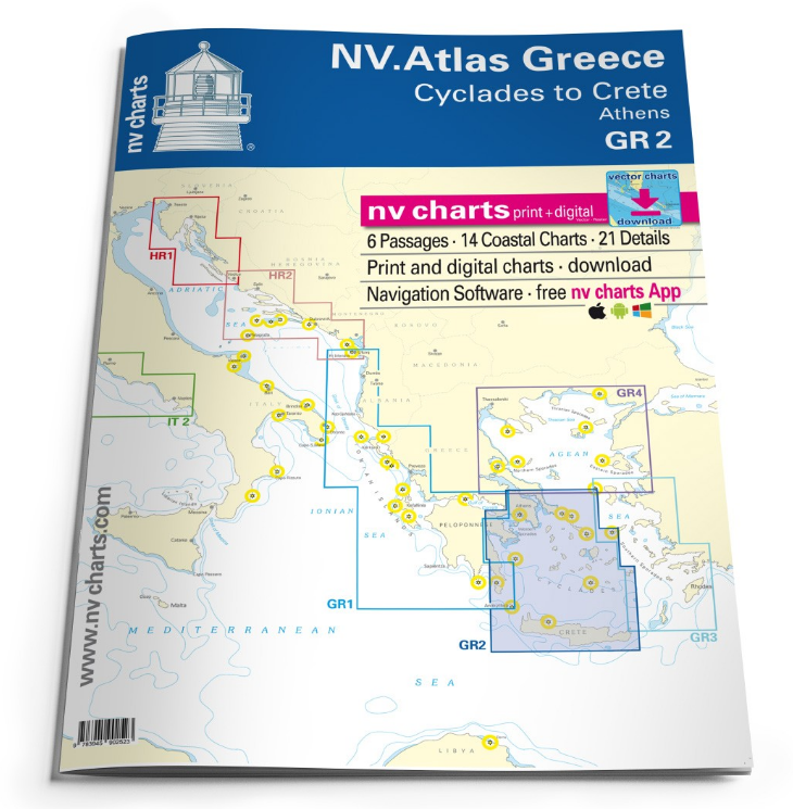
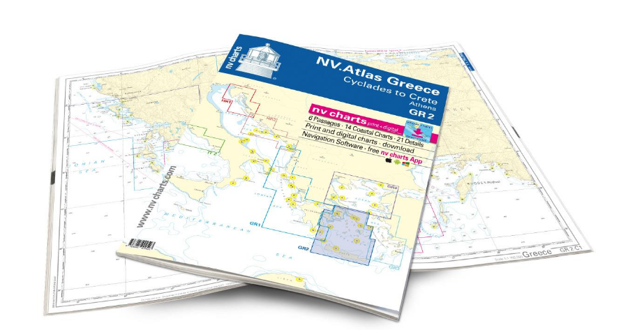
Our chart set GR2 takes you from the Cyclades in the Aegean Sea to Crete. Beautiful villages, white sandy beaches and the typical Greek serenity on the islands make the Cyclades one of the most popular holiday regions for skippers in Greece. The islands are relatively close together, so you can also visit many of the unique islands such as Mykonos, Naxos and Paros with its charming rocky bays on short trips. A unique highlight of the Cyclades is of course the island of Santorini, which, with its whitewashed houses and blue domed roofs, is one of the most beautiful islands in Europe. If you are looking for picturesque bays, wild nature and ancient sites, the island of Syros should not be missed. Here you can marvel at the pastel-colored, classicist villas and historic domed buildings even from the sea. The southern border of the Cyclades is Crete. Crete is the largest of the Greek islands and inspires with its idyllic bays, beautiful beaches and well-developed marinas. The coastal town of Rethymno in the north of the island is definitely worth a visit. In this picturesque coastal town with its narrow streets, you can expect flower-adorned houses in Venetian and Ottoman architecture and still very original island life. The area is equally attractive for sailors and motorboat drivers, you can find additional literature for the region in our online shop under the tour guides.
Thanks to the clear structure, the skipper can quickly find approaches, harbours and anchorages and is informed of important navigational details that also appear in the NV Charts app. The chart series impresses with its optimal scales and balanced sheet cuts.
Passage Charts
C Greece 1:1750000 C 2 Cyclades1:950000 C 3 Ák. Maléas to Crete – Mílos 1:350000 C 4 Ák.Vathy to Ándros – Athens 1:350000 C 5 Cyclades Central 1:350000 C 6 Cyclades South to Crete 1:350000
Coastal Charts
C 7 Kýtira to Kólpos Argolikós 1:150000 C 8 Gulf of Argolikós to Poros 1:150000 C 9 W-Sporades – Corinth to Gaïdouróniso 1:150000 C 10 Gaïdouróniso to Ándros 1:150000 C 11 Cyclades NW – Kéa to Sérfios 1:150000 C 12 Cyclades – Ándros to Páros 1:150000 C 13 Cyclades – Tínos to Náxos – Mýkonos 1:150000 C 14 Cyclades – Náxos to Mílos – Síkinos 1:150000 C 15 Cyclades Central – Síkinos to Náxos 1:150000 C 16 Cyclades – Náxos to Astypálaia 1:150000 C 17 Cyclades – Síkinos to Thíra 1:150000 C 18 Crete W – North & South Coast 1:200000 C 19 Crete Centre – North & South Coast 1:200000 C 20 Crete E – North & South Coast 1:200000
Details
C 21A Náfplíon – Gulf of Argolikós 1:10000 C 21B Stenó Spetsón – Spétsai 1:12000 C 21C Liménas Pógonos – Póros 1:10000 C 21D Stenó Metópis – Aígina 1:12000 C 22A Athens Harbours 1:20000 C 22B Lavrion & Olympic 1:8800 C 23A Órmos Gávrion- Ándros 1:20000 C 23B Korissía – Kéa 1:15000 C 23C Sitéia – Crete 1:10000 C 23D Foínix – Sýros 1:25000 C 23E Livádion – Sérifos 1:15000 C 24A Mýkonos 1:30000 C 24B Náousa – Páros 1:25000 C 25A Stenó Antipárou 1:40000 C 25B Órmos Náxos 1:30000 C 26A Stenó Mílou Kímólou- Milos 1:40000 C 26B Íos 1:20000 C 26C Stenó Koufónisos 1:10000 C 26D Astipálaia 1:17000 C 27A Thíra 1:70000 C 27B Crete – Ák. Ág.Ioannis to Nikólaos 1:50000


