Descripción
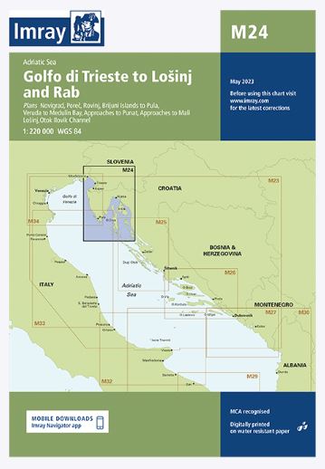
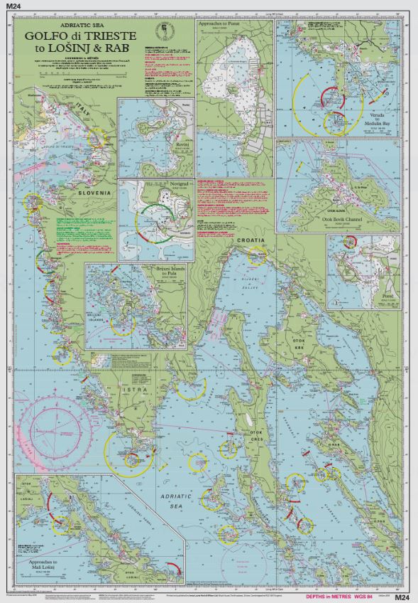
Chart scale 1:220 000
Plans included:
Novigrad (1:15 000)
Porec (1:15 000)
Rovinj (1:15 000)
Brijuni Islands to Pula (1:85 000)
Veruda to Medulin Bay (1:85 000)
Approaches to Punat (1:20 000)
Approaches to Mali Lošinj (1:40 000)
Otok Ilovik Channel (1:20 000)
This edition includes the latest official UKHO & Hvratski Hidrografski Institute (Croatian HO) data, combined with additional information sourced from Imray»s network to make it ideal for small craft. The chart has been fully revised throughout.

