Descripción
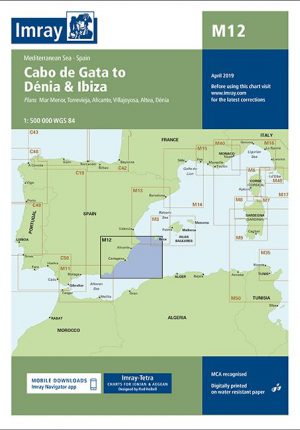
En esta edición de 2018, la especificación del gráfico se ha mejorado para mostrar destellos de luz de colores. Se incluyen los desarrollos portuarios en curso en Gibraltar y los desarrollos portuarios completados en Almería. Se han actualizado las reservas marinas. Ha habido una actualización general en todo momento.
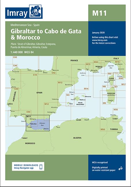
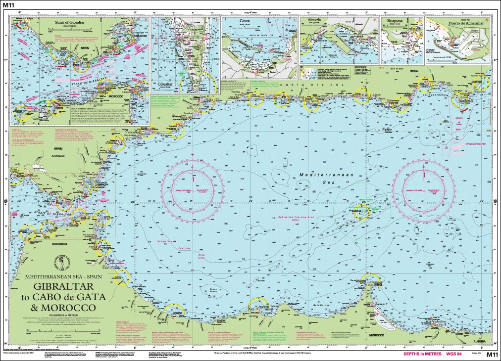
On this 2018 edition the chart specification has been improved to show coloured light flashes. Continuing harbour developments at Gibraltar and completed harbour developments at Almería are included. Marine reserves have been updated. There has been general updating throughout.
Plans included:
Strait of Gibraltar (1:275 000)
Gibraltar (1:50 000)
Estepona (1:15 000)
Puerto de Almerimar (1:10 000)
Almería (1:25 000)
Ceuta (1:20 000)


