Descripción
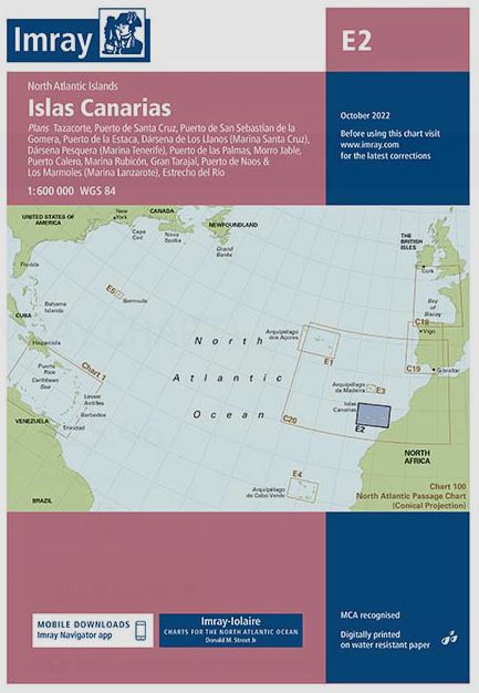
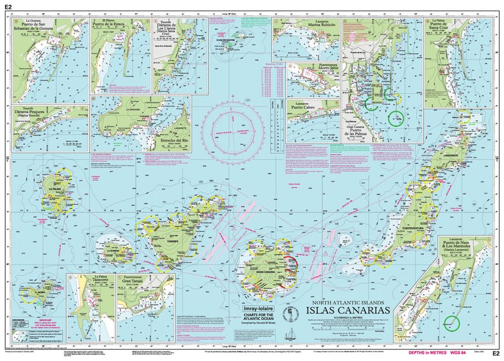
Plans included:
Tazacorte (1:10 000)
Puerto de Santa Cruz (1:12 500)
Puerto de San Sebastian de la Gomera (1:10 000)
Puerto de la Estaca (1:7500)
Dársena de Los Llanos (Marina Santa Cruz) (1:17 500)
Dársena Pesquera (Marina Tenerife) (1:17 500)
Puerto de las Palmas (1:30 000)
Morro Jable (1:12 500)
Puerto Calero (1:15 000)
Marina Rubicón (1:25 000)
Gran Trajal (1:10 000)
Puerto de Naos & Los Marmoles (Marina Lanzarote) (1:12 500)
Estrecho del Río (1:50 000)
On this 2018 edition the chart specification has been improved to show coloured light flashes. The harbour plans of Puerto de San Sebastian de la Gomera and Puerto de Naos & Los Marmoles (Marina Lanzarote) have both been extended to incorporate recent harbour development. There has been general updating throughout.
